Geography
Geography and Natural Features
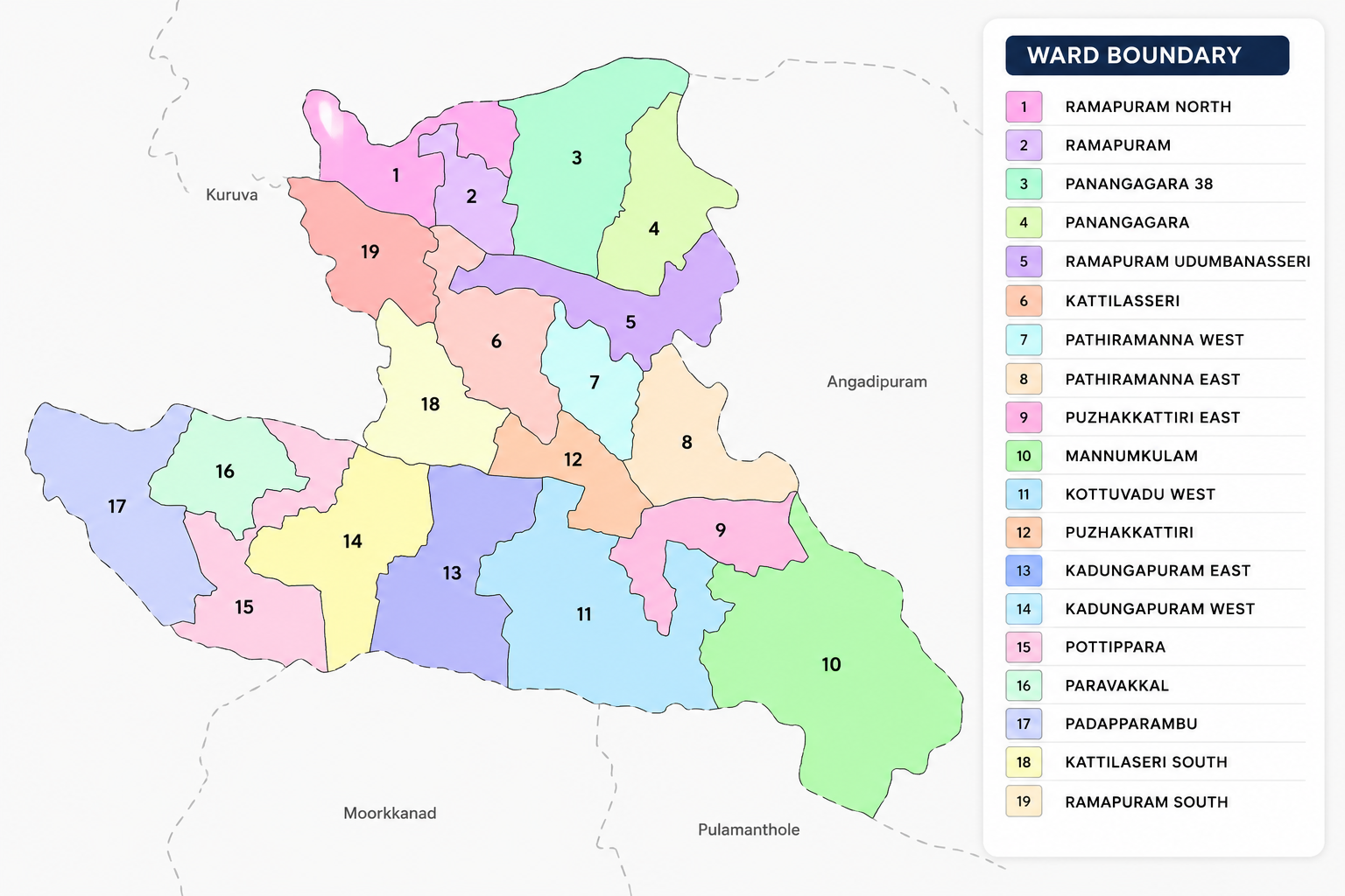
Puzhakkattiri Grama Panchayath is situated in Mankada Block of Perinthalmanna Taluk in Malappuram District. The Panchayath, which falls within the limits of Puzhakkattiri Village, has a total area of 22.69 square kilometres.
The Panchayath is bounded by Makkaraparamba and Mankada Grama Panchayaths in the north, Kuru Grama Panchayath in the west, Moorkkanad and Pulamanthole Grama Panchayaths in the south, and Angadippuram Grama Panchayath in the east.
Historically, these areas were covered by dense forests. Historical records indicate that during the British period, the region was mainly used for hunting and recreational hunting activities.
Cherupuzha, which originates from Aminikkad Hill, flows through the central part of the Panchayath and joins the Kadalundi River. It is an important source of water for agricultural irrigation in the Panchayath.
The major river crossings (kadavus) associated with Cherupuzha include Manikkeer Kadavu, Kakkattilpadi Kadavu, Konnamvallam Kadavu, Kotharappuzha Kadavu, Kattakundu Kadavu, Vellikkadavu, Udumbanassery Thirundu Kadavu, Poolakkundu Kadavu, Veliyampurath Kadavu, and Chovvankundu Kadavu.
The streams originating from different parts of the Panchayath mainly converge into Cherupuzha. Cherupuzha has small check dams (chiras) at Udumbanassery and Chovvana. Among the important check dams across the streams, Adanganchira is noteworthy.
Based on its topography, Puzhakkattiri Grama Panchayath can broadly be divided into five categories: hilly areas, gentle slopes, valleys, plains, and small streams.
The highest elevation in the Panchayath is Paloorkotta. Velloo Paramba, Chemmeen Paramba, and Kandam Paramba are some of the other prominent elevated areas.
The predominant soil type found in the Panchayath is laterite soil. This terrain, which is conducive to agricultural activities and natural water resources, forms the foundation of Puzhakkattiri's distinctive natural landscape.